
On behalf our company together with of EOS Data Analytics, I am pleased to share our Commercial proposal outlining the software services and products that we will provide. Overall, our goal is to deliver a software solution that will enable to obtain on-time high-quality and accurate data to all users.
This software product is designed for satellite monitoring of agricultural land. You can see the current state of your fields (humidity, temperature) and the estimated yield, right on your computer or mobile device — phone and tablet.
Solutions
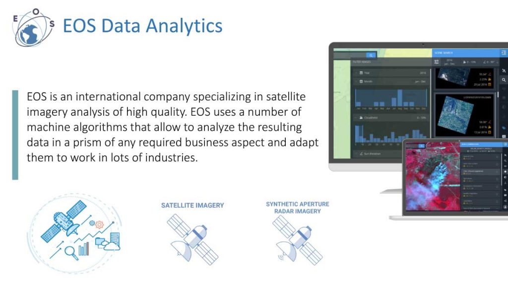
EOS Data Analytics Inc. (EOSDA) is a private company located in Menlo Park, CA providing cloud-based imagery analytics with artificial intelligence: capitalizing on the technology revolution in earth observation sensors, providing valuable business insights to improve customers’ bottom line. EOSDA has developed neural networks analytics for satellite, drone, aerial, hyperspectral, synthetic aperture radar, and point cloud 3D data products derived through photogrammetry. EOSDA’s imagery analytics capability with all the aforementioned data products positions it as the market leading geospatial business solutions provider. EOSDA capitalizes on a combined intellectual capital of over 60 data scientists, computer vision engineers, and software developers.
Notifications
• New images of your fields have been added (the notification contains information about the changes in vegetation values of the field and automatically outlines problem areas you should focus on).
• Abnormal changes in the values of vegetation indices (currently available: NDVI, RECL, NDRE, MSAVI).
• Accurate weather forecast up to 15 days and weather alerts: (Cold shock /Heat shock).
Weather data
• Daily updated weather forecasts (precipitation, air temperature, the sum of active temperatures, air humidity, wind speed). Available resolution: 10 х 10 km.
• Access to the archive of historical weather data (precipitation, air temperature, humidity level, wind speed).
• Analysis of «critical» weather conditions for crops to prevent harvest losses.
Satellite monitoring and analytics
• Convenient automated monitoring of a large number of fields.
• Vegetation dynamics based on the relevant vegetation indices for 5 years.
• Improved cloud mask.
• Water stress determination.
Zoning
• Productivity map.
• Flexibility for the customization of zoning setting.
• Fertilizer application map.
Task management (scouting)
• Setting tasks for scouting.
• Tracking and getting results in the form of reports.